English
English
You can view the Glaciers of Iceland map directly on this page. It’s designed to help you visualize glacier regions, access points, and nearby highlights before planning routes.
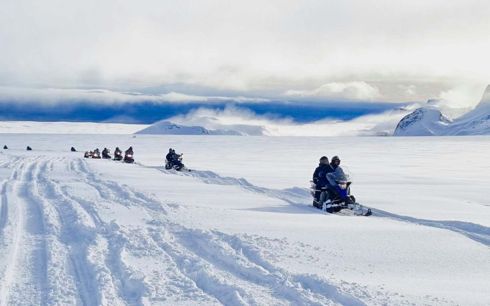
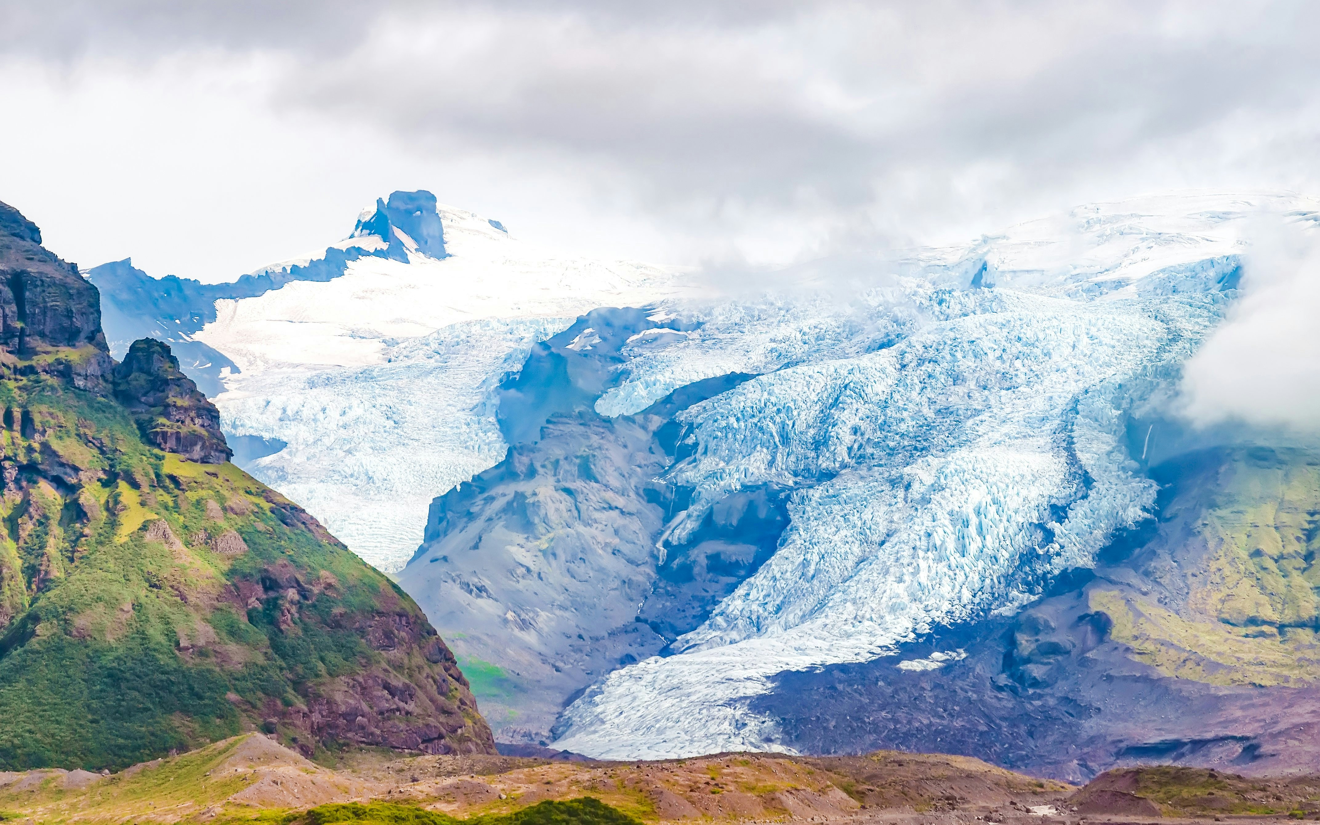
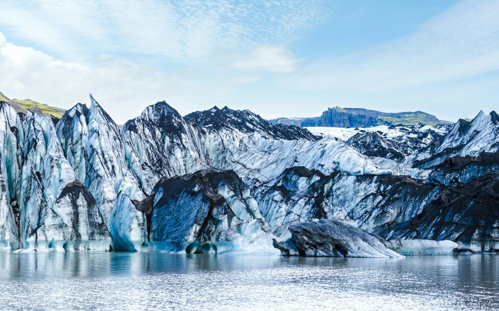
The map highlights Iceland’s major glaciers, outlet glaciers, ice caves, ice tunnels, glacier lagoons, and nearby landmarks like Diamond Beach and Golden Circle routes.
Use the map to group nearby glacier attractions together, identify driving routes along the Ring Road or Golden Circle, and estimate travel distances between regions.
Yes. Key access areas such as Skaftafell, Jokulsarlon, Husafell, Geysir, and Gullfoss are marked to help you plan glacier tours and activities.
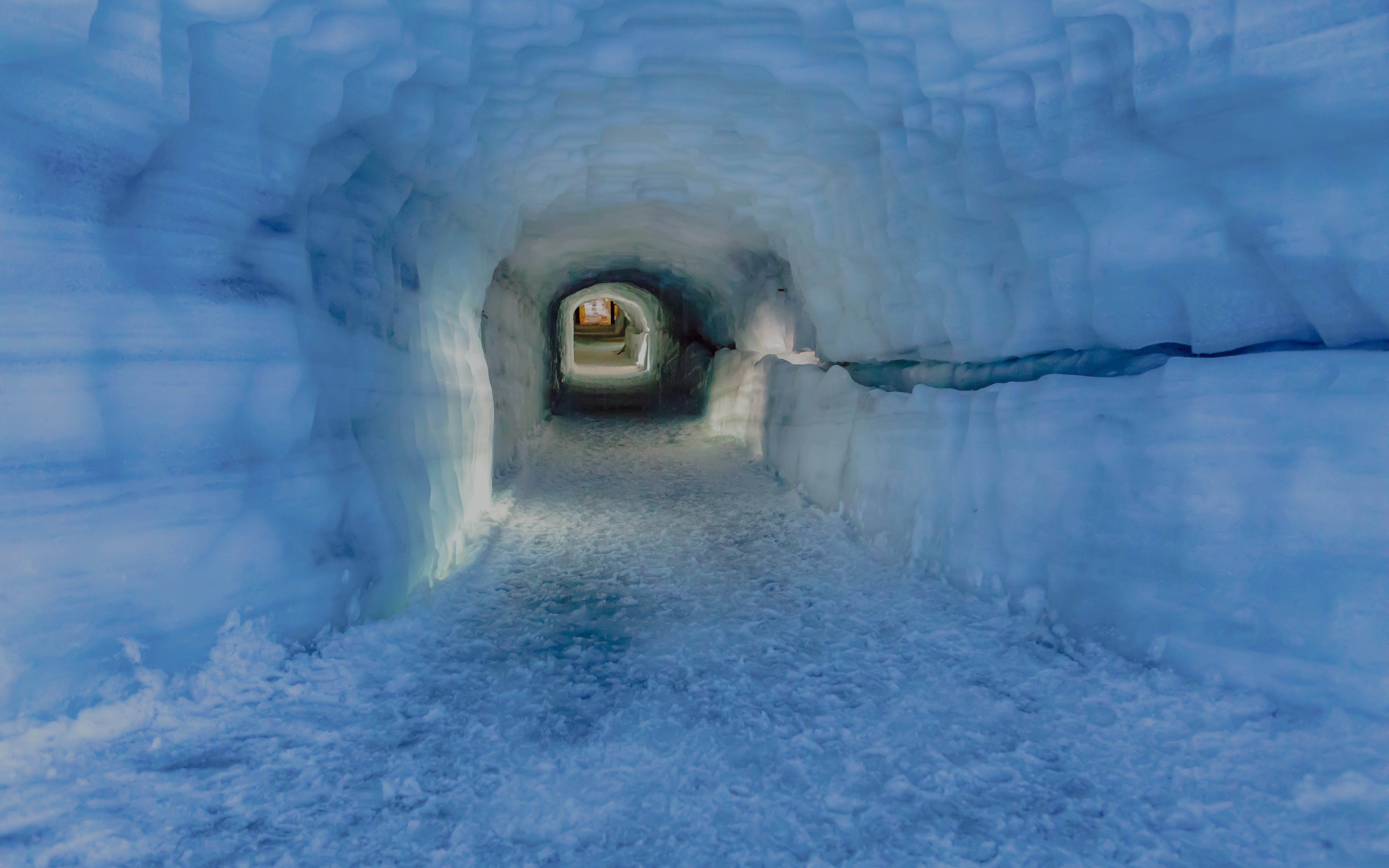
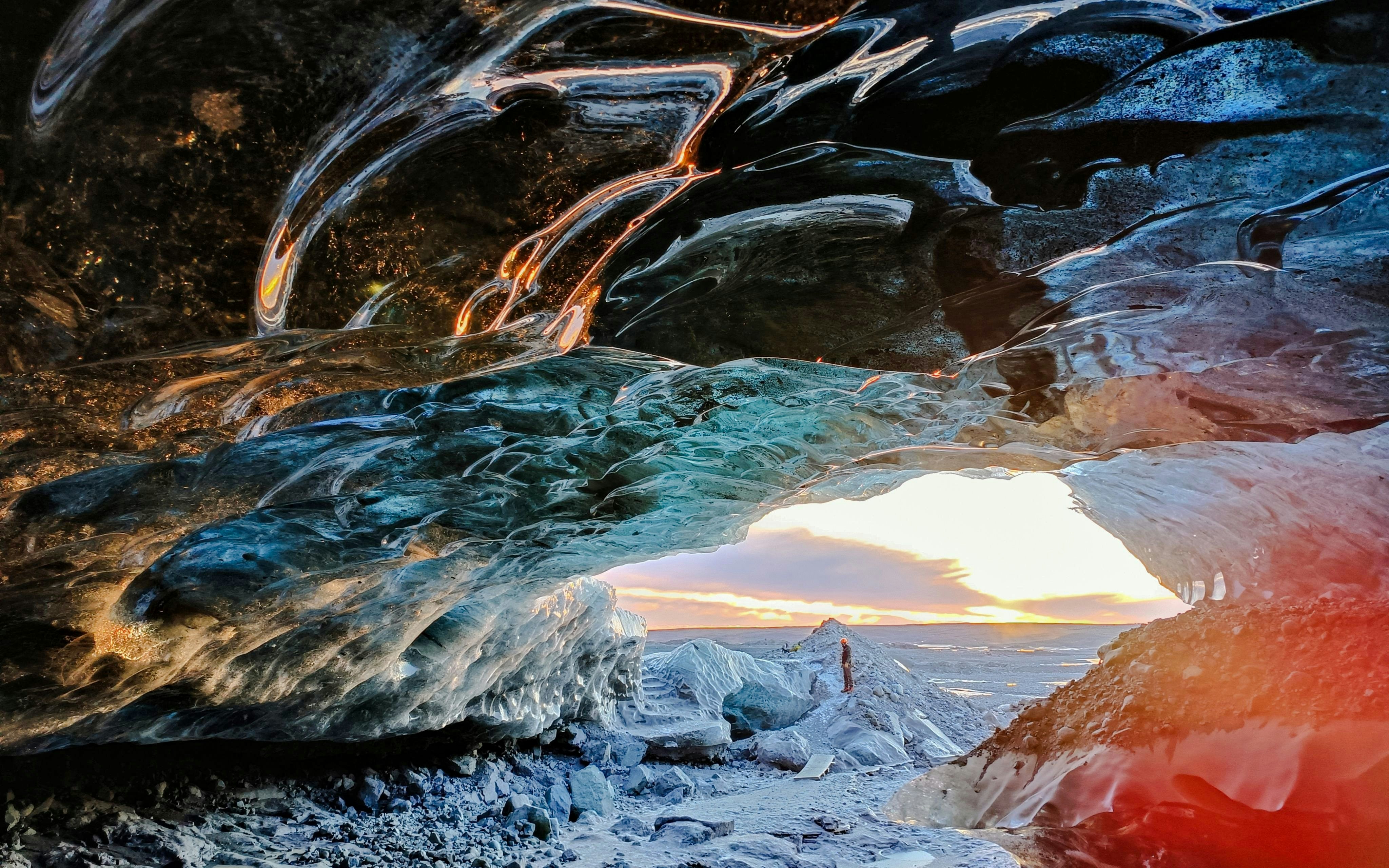
Yes. Seasonal features such as natural ice caves are highlighted near relevant glaciers, with the understanding that availability depends on weather and safety conditions.
The map is an orientation guide, not a replacement for GPS. Always use navigation apps for turn-by-turn directions and real-time road conditions.