Explore the Iceland Glaciers map before your visit

This Glaciers of Iceland map brings together the country’s major ice caps and outlet glaciers in one clear layout. Use it to explore glacier locations across regions, understand their scale and connections, and plan routes to key glacier areas at a glance.

Navigating your way around Iceland’s glacier regions

Guests hiking on Vatnajökull Glacier in Iceland.
  • Plan by region, not site: Glaciers are spread across Iceland, so visits are organized by routes like the South Coast, Vatnajokull area, and West Iceland.
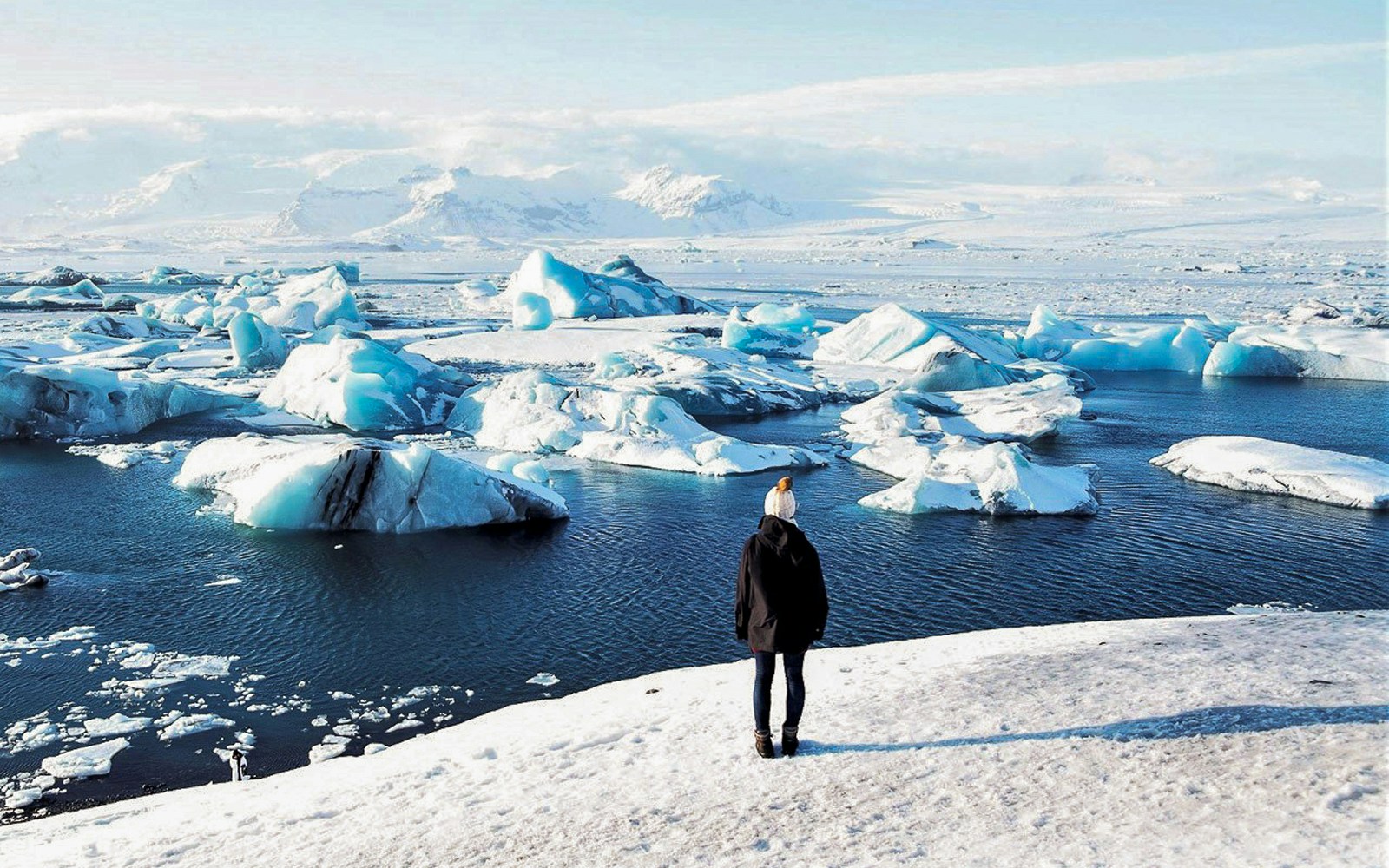
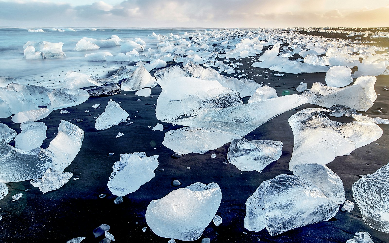
  • Suggested order: Start with South Coast glaciers (Solheimajokull, Myrdalsjokull), continue east to Vatnajokull outlets (Falljokull, Skaftafell), and finish at Jokulsarlon Glacier Lagoon and Diamond Beach.
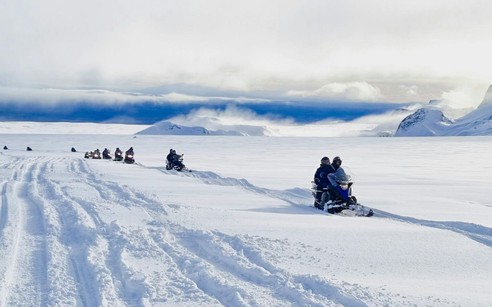
  • Getting around: There is no shuttle service between glaciers. Most visitors use rental cars or join guided tours with transfers included.
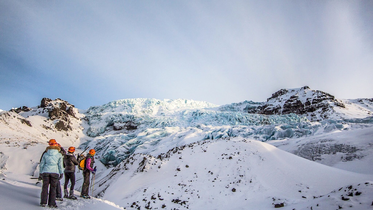
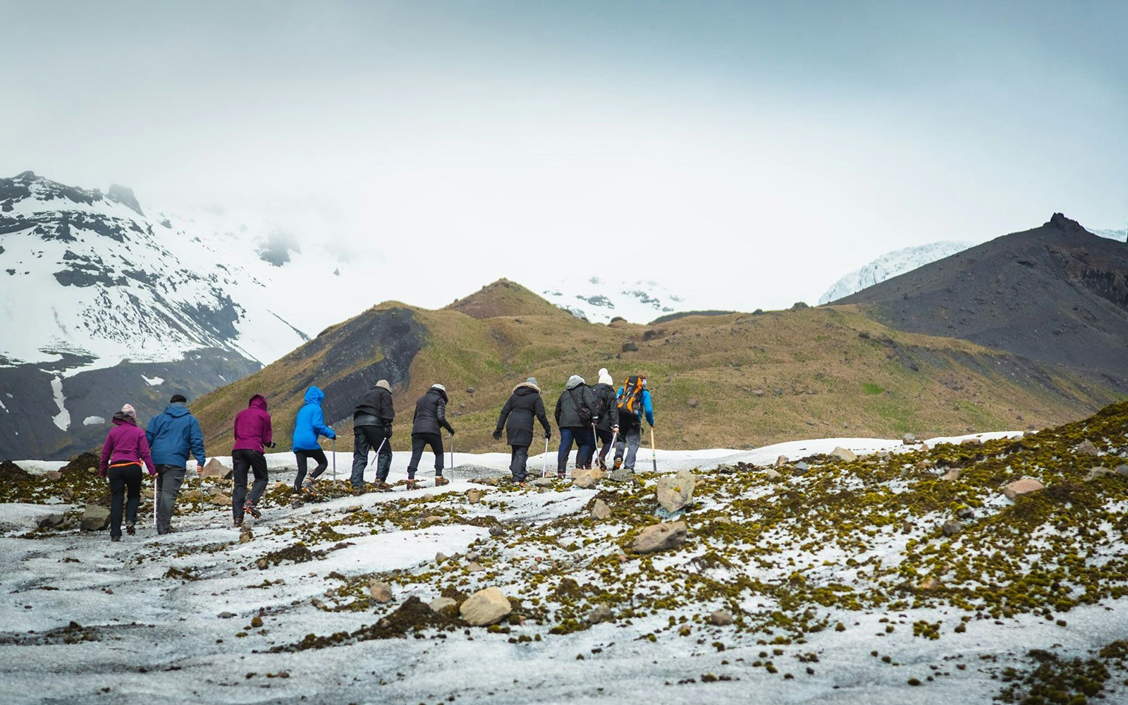
  • Walking involved: Viewpoints usually require short walks, while glacier tours involve moderate walking on ice with safety gear.
  • Food & facilities: Eateries are limited near glaciers; plan stops in nearby towns or visitor centers.
  • Rest stops: Benches and shelters are scarce, so schedule breaks at designated parking areas or tour meeting points.

Visitor facilities around Iceland’s glacier regions

  • Parking: Designated gravel or paved parking areas are available near major glacier access points such as Skaftafell, Jokulsarlon, Solheimajokull, and Langjokull tour bases. Some popular sites charge a small parking fee, payable on-site or online.
  • Restrooms: Public restrooms are available at key visitor centers, including Skaftafell Visitor Centre, Jokulsarlon facilities, and main tour meeting points. There are no restrooms directly on the glaciers.
  • Visitor & information centers: Skaftafell Visitor Centre (Vatnajokull National Park) offers maps, safety updates, and staff guidance. Smaller info desks are available at select glacier tour base camps.
  • Accessibility: Terrain around glaciers is mostly uneven. Visitor centers have step-free access, but glacier walks and ice caves are not wheelchair accessible.
  • Food & dining: Cafes and food trucks operate seasonally near Jokulsarlon, Skaftafell, and major parking hubs. Full restaurants are found in nearby towns.
  • Water refilling: Limited water refill points are available at visitor centers; carry reusable bottles.
  • Gear & rest areas: Benches and sheltered waiting areas are available at tour meeting points, where helmets, crampons, and other safety gear are issued.

Must-see highlights

Group hiking on Vatnajökull Glacier, Iceland, with snowy mountains in the background.

Vatnajokull Glacier

Iceland’s largest ice cap and home to multiple glacier tongues.

Person standing on snowy shore overlooking icebergs in Jökulsárlón Glacier Lagoon, South Iceland.
Diamond Beach
Guests snowmobiling from Gullfoss waterfall across snowy Icelandic landscape.
Langjokull Glacier ice tunnel interior, Iceland.

Tips for your visit

  • Plan stops around daylight: In winter, daylight is limited, so prioritize glacier lagoons and viewpoints earlier in the day for better visibility and safer driving.
  • Refuel and rest strategically: Fuel stations and cafes are sparse near glacier areas, top up and take breaks in towns like Vik, Hofn, or near Skaftafell.
  • Check road and glacier conditions daily: Weather and ice conditions change fast; review road updates before driving between glacier regions.
  • Group nearby highlights together: Pair Jokulsarlon with Diamond Beach or Skaftafell with Falljokull to reduce backtracking and maximize sightseeing time.

Frequently asked questions about the Iceland Glaciers map

You can view the Glaciers of Iceland map directly on this page. It’s designed to help you visualize glacier regions, access points, and nearby highlights before planning routes.