Myrdalsjokull Glacier: Complete visitor’s guide & highlights

What is Myrdalsjokull Glacier?

Myrdalsjokull Glacier's icy landscape with blue ice formations in Iceland.

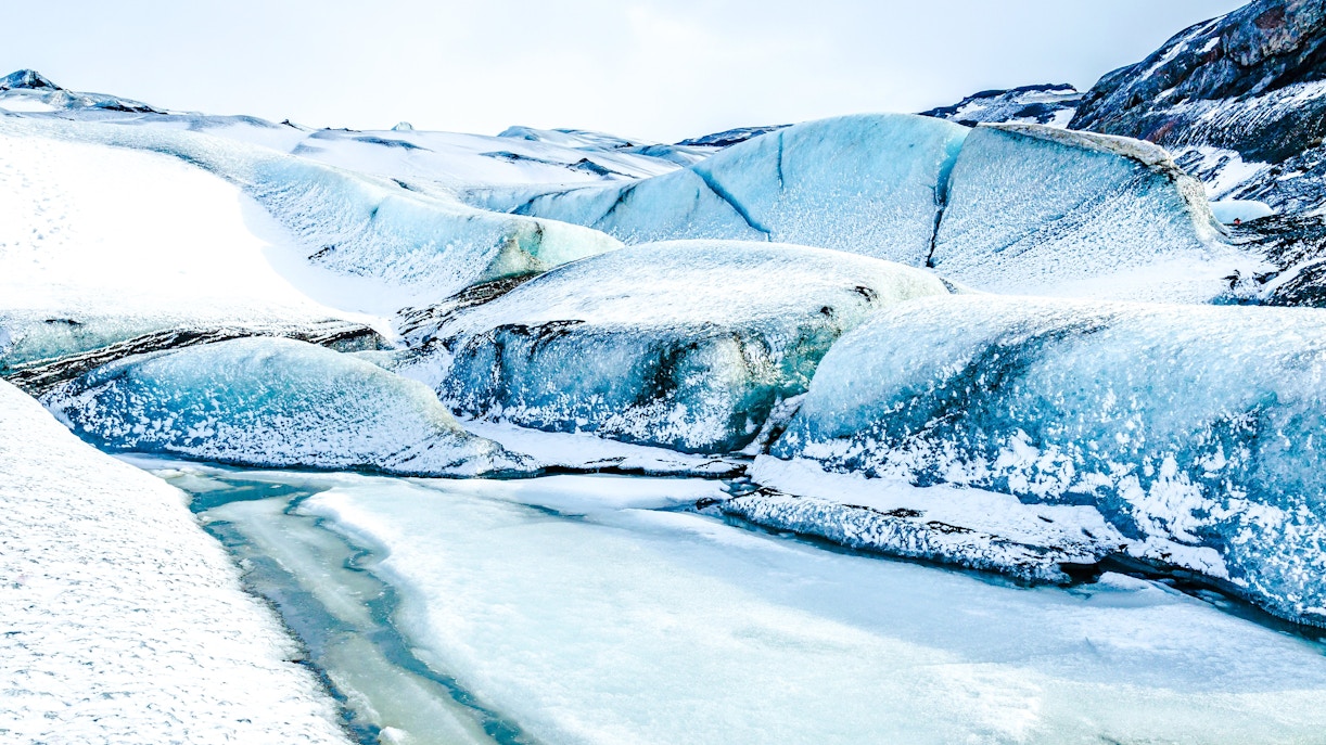
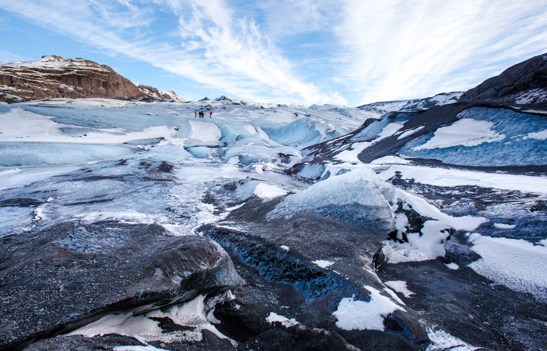
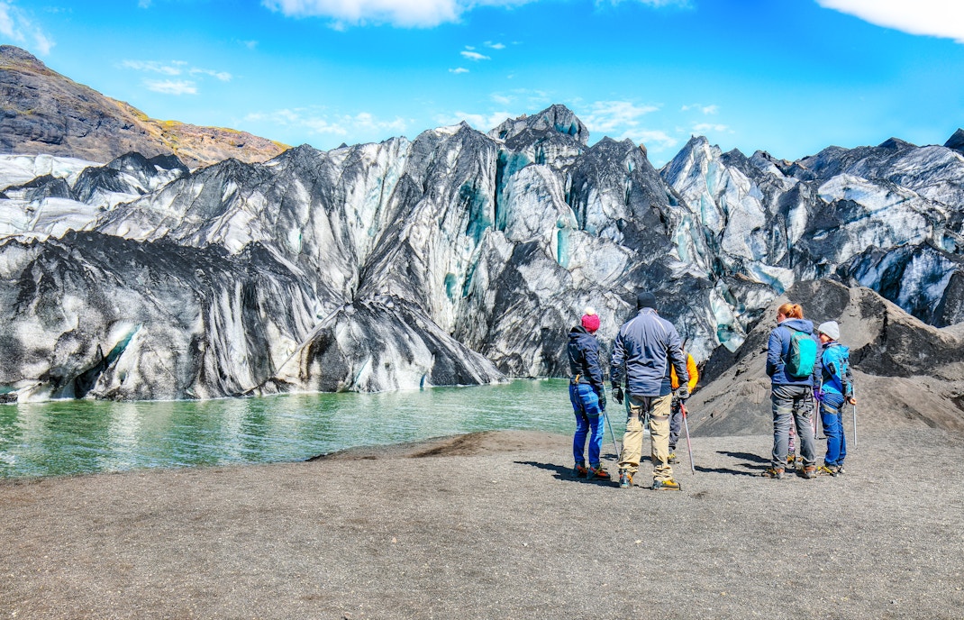
Myrdalsjokull Glacier is a large ice cap in southern Iceland, resting over the active Katla volcano near the South Coast. Its snow-covered surface hides rugged volcanic terrain beneath, with deep crevasses and icy ridges shaped by wind and weather. Meltwater from the glacier feeds fast-flowing rivers, linking the highlands to the coast.

Plan your visit to Myrdalsjokull Glacier

Opening hours

Myrdalsjokull Glacier is accessible year-round, as it is a natural site without fixed gates or ticketed entry. Visiting hours depend on daylight and weather conditions, which vary significantly by season. Guided glacier tours typically run between 8am and 6pm, with reduced availability in winter due to weather and safety considerations.

  • Closed: No official closure, but access may be restricted during severe weather.

Best time to visit

  • May to September offers longer daylight, milder temperatures, and easier access, making it ideal for first-time visitors. 
  • Winter months (October–March) bring fewer crowds and dramatic snow-covered views but require guided tours due to icy conditions. 
  • Weekdays are quieter than weekends, and early mornings provide better light and fewer tour groups.

Location

  • Myrdalsjokull Glacier is located in southern Iceland, just north of the village of Vík and close to Katla Geopark. 
  • It’s easily reached via the Ring Road (Route 1), with tour meeting points near Vík or Skógar. Public buses serve Vík, while driving offers the most flexibility.
Get directions on Google Maps