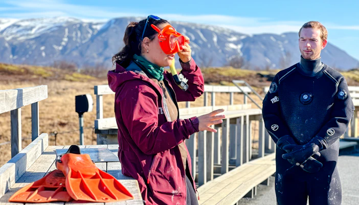
- Operating hours: Daily, 9am to 3pm; open all year
- Seasonal changes: During summer (June–August), extended daylight allows for more frequent departures and later afternoon tours. In winter (November–March), fewer daily slots are available due to limited daylight and weather conditions.
What is Silfra Fissure
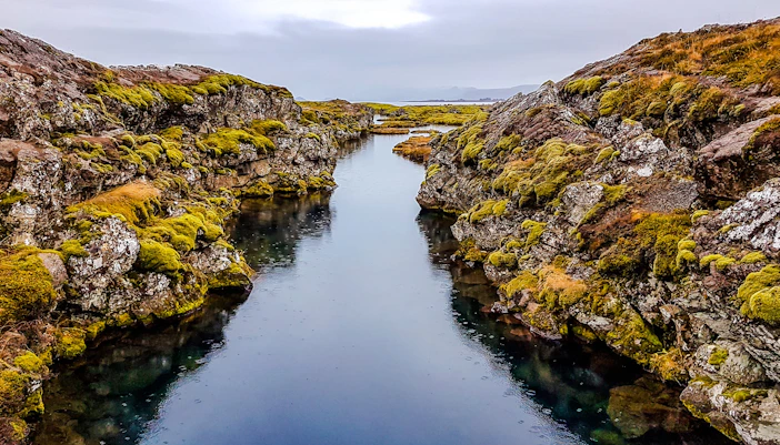
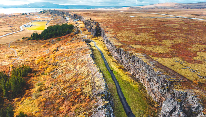
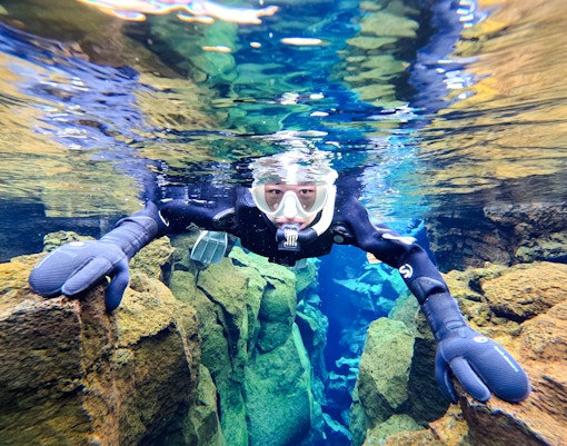
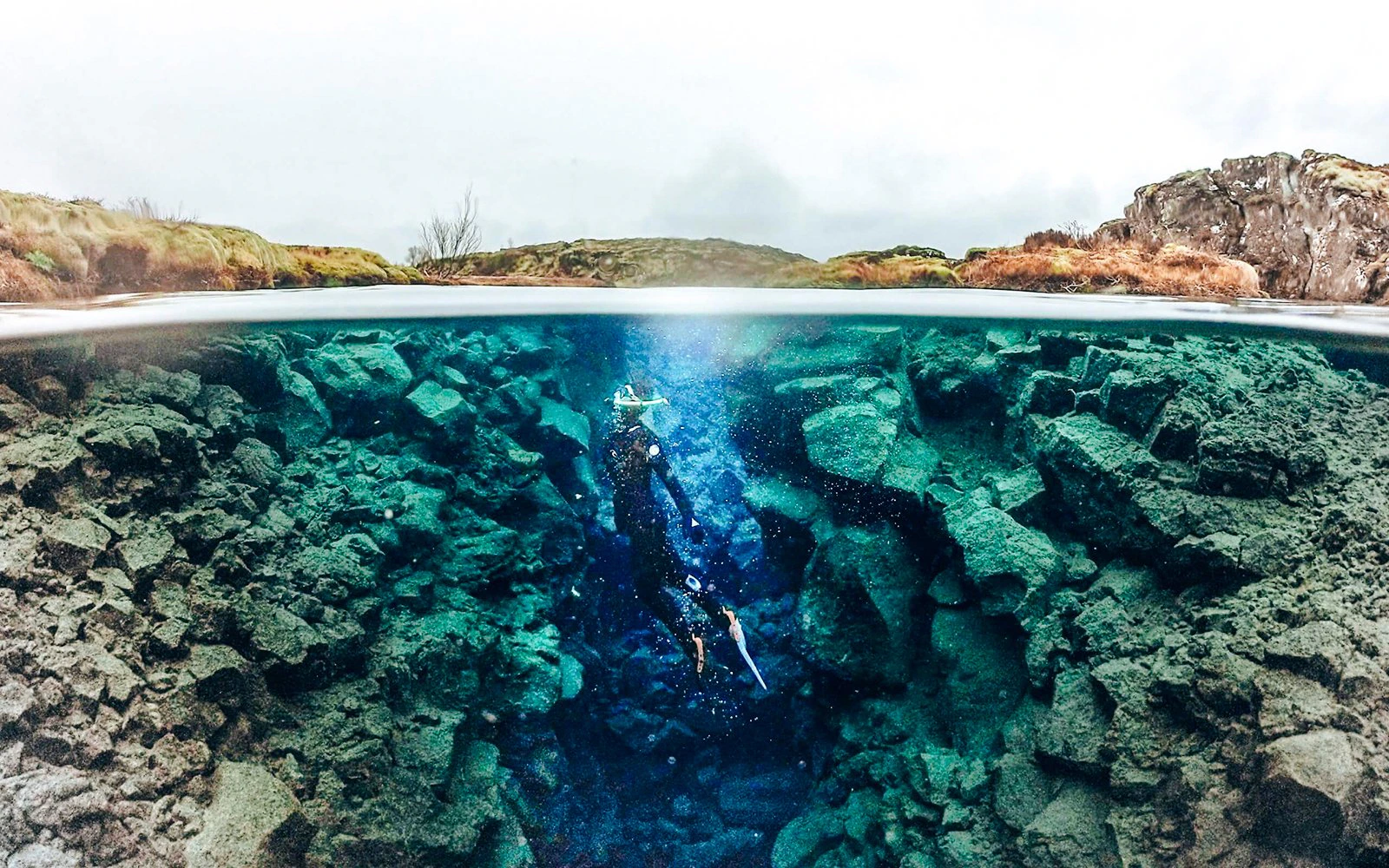
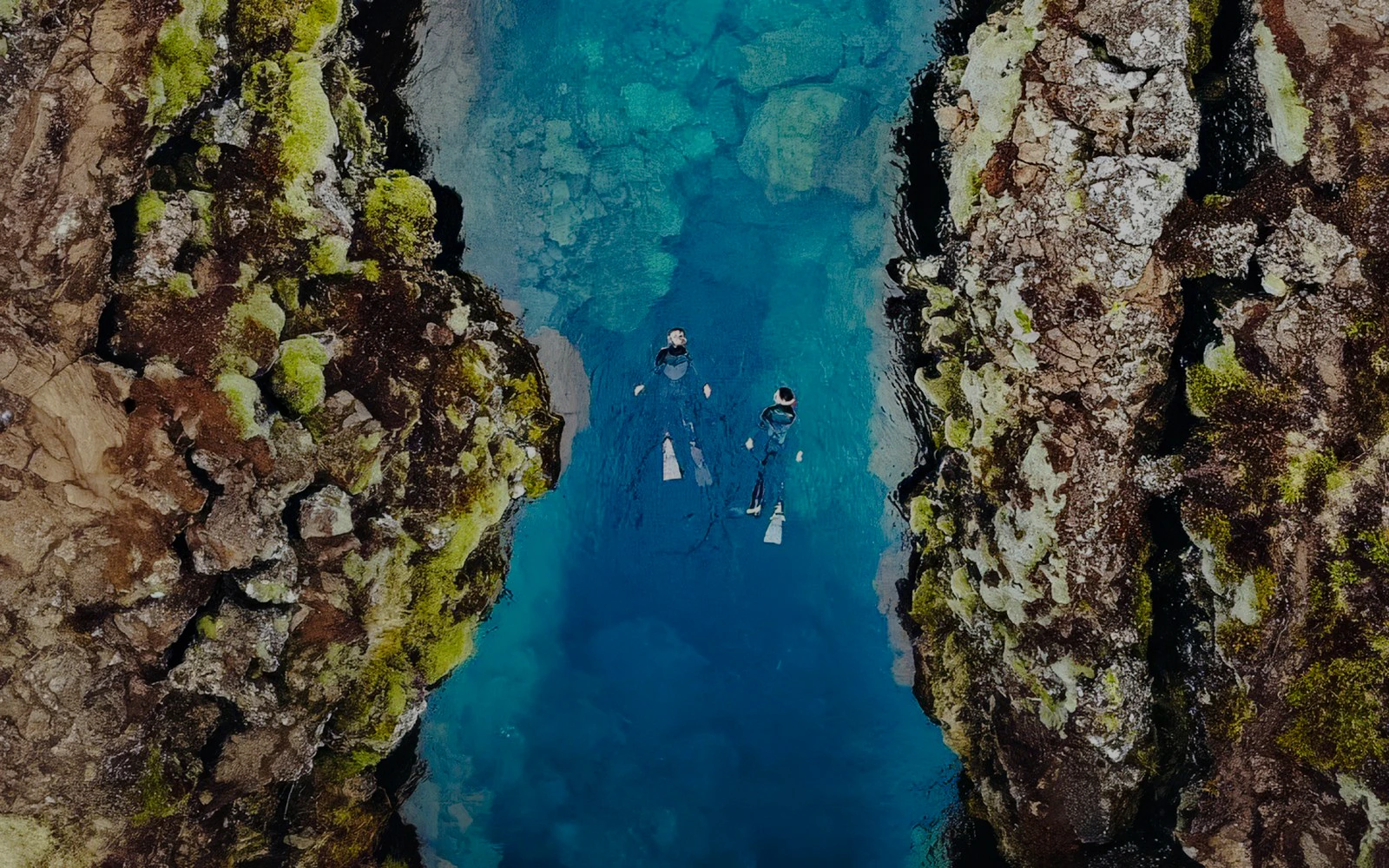
Silfra Fissure is a natural rift in Thingvellir National Park, where the North American and Eurasian tectonic plates slowly drift apart. Filled by glacial meltwater filtered through lava rock for decades, its water is exceptionally clear and remains 2–4°C year-round.
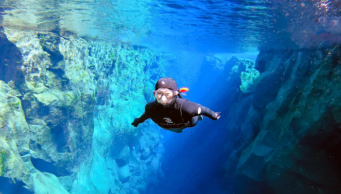
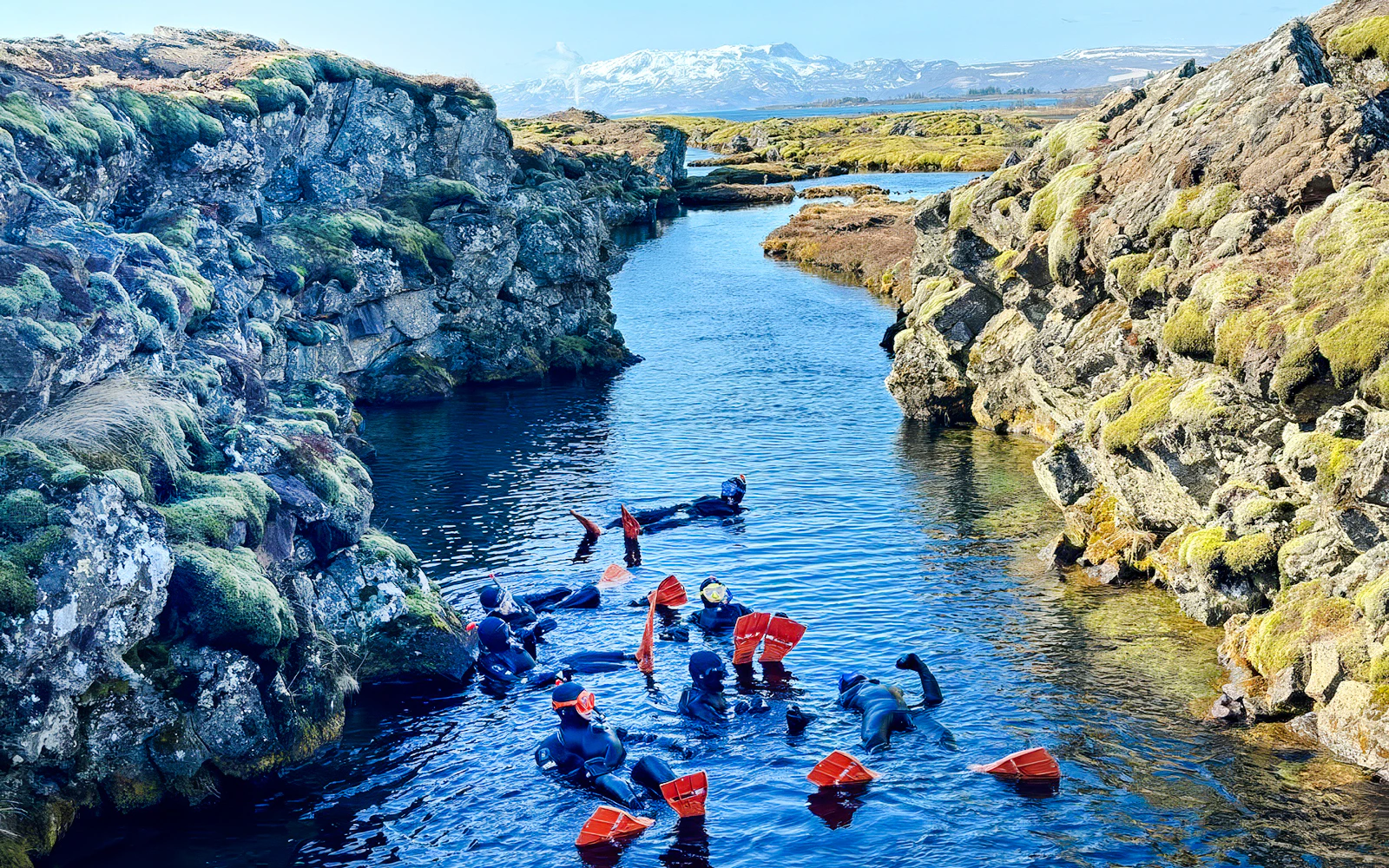
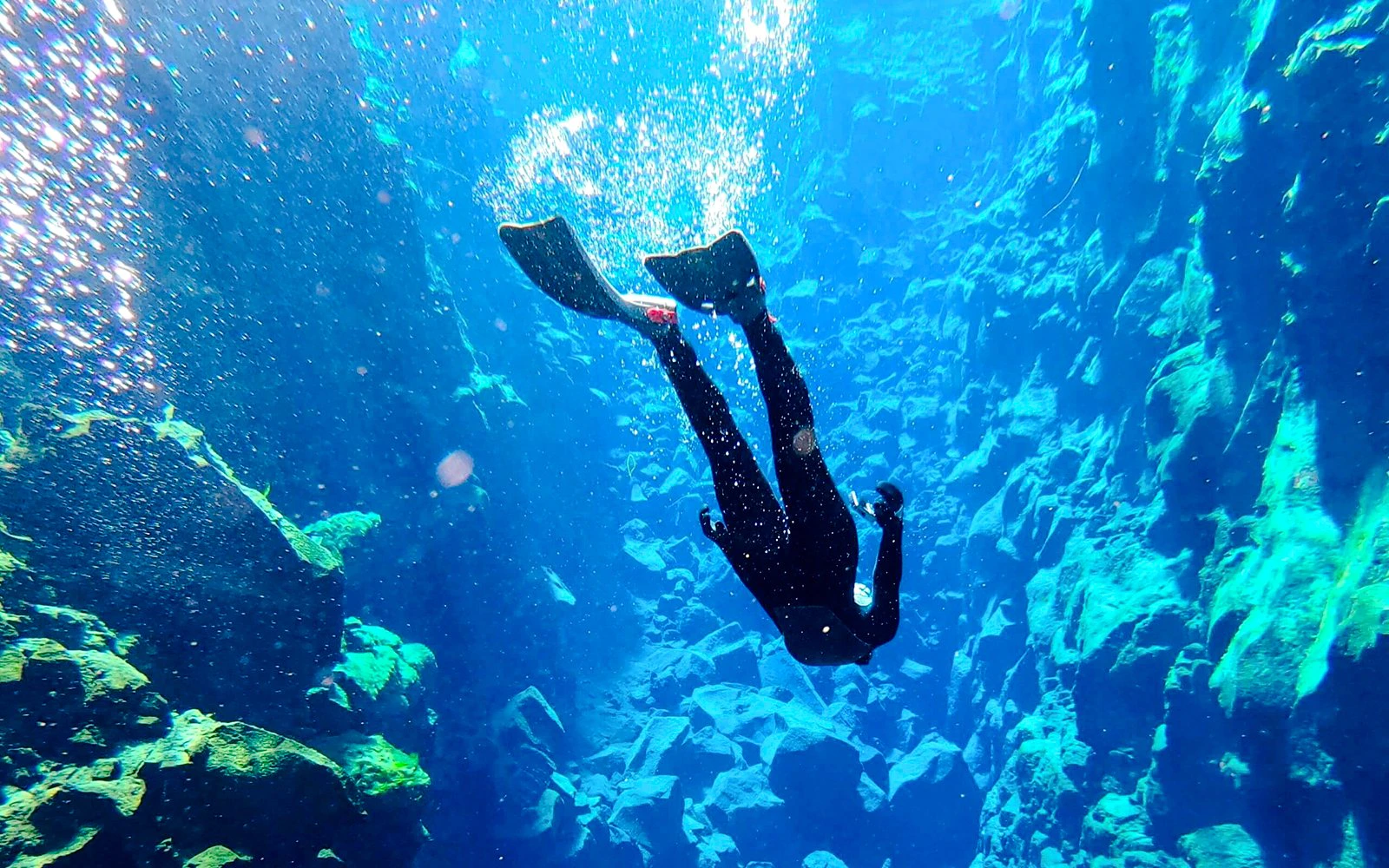
Unlike a typical dive site, Silfra is a calm, freshwater canyon of submerged rock walls, deep crevices, and shifting light, explored by snorkeling or dry suit diving between continents.
Plan your visit to Silfra
Things to do at Silfra Fissure
What to see during your visit
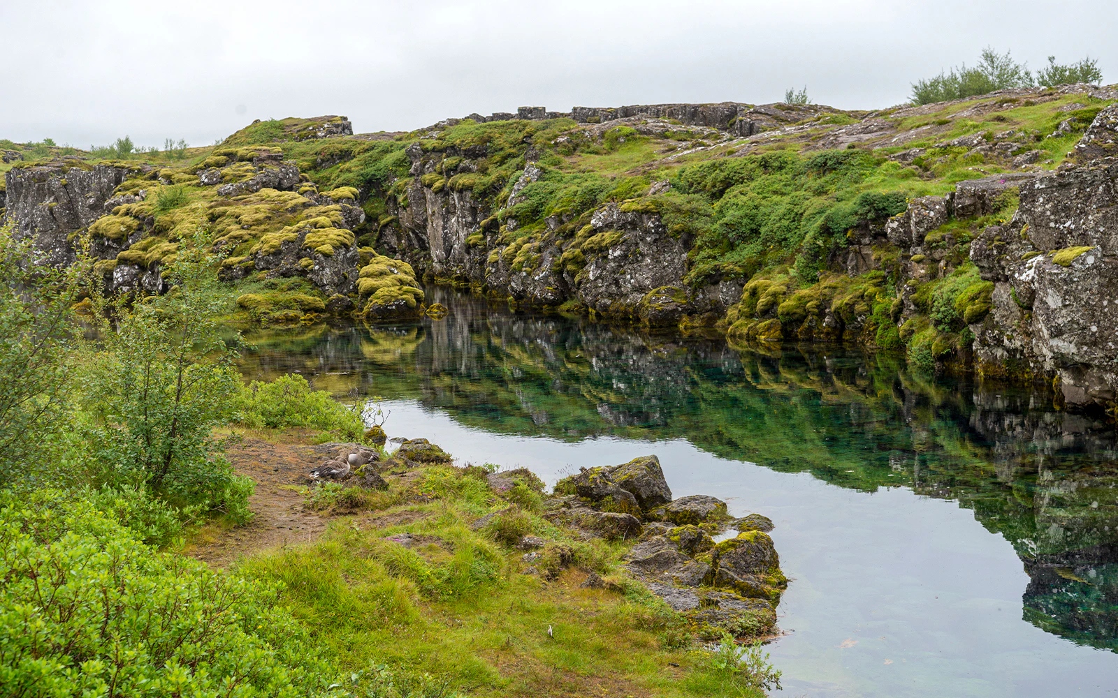
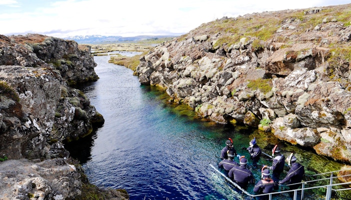
The Big Crack, entrance to Silfra
A narrow, dramatic channel where you slip directly between two continents. Sheer rock walls and intensely clear water create a surreal first impression.
History of Silfra Fissure
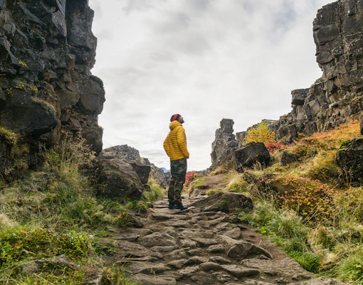
Silfra lies within Thingvellir National Park, the historic site where Iceland’s national parliament, the Alþingi, was established in 930 AD. For nearly 800 years, chieftains gathered here each summer to debate laws, settle disputes, and shape the nation.
The fissure as we know it today was created after a series of powerful earthquakes in 1789 widened existing cracks in the lava field. These seismic events opened deep fractures between the tectonic plates, allowing glacial meltwater to fill the newly formed canyon.
It wasn’t until the late 20th century that divers began exploring the fissure, drawn by reports of extraordinary water clarity. Word spread quickly within the diving community, and Silfra gained international attention as a rare place where people could float between two continents in freshwater with visibility often exceeding 100 meters.
Today, Silfra is protected as part of Thingvellir National Park, a UNESCO World Heritage Site recognized for both its geological significance and its role in Icelandic history.
Geography of Silfra: How Silfra was shaped over time
Silfra is located in Thingvellir National Park, where the North American and Eurasian plates are slowly pulling apart by roughly 2 cm per year. It is one of the few places on Earth where this continental drift is clearly visible above sea level.
The fissure formed after the major earthquake in 1789 opened cracks in the surrounding lava field. These fractures are filled with glacial meltwater, creating a deep, narrow canyon of submerged rock walls and boulder chambers.
Water from the Langjökull glacier filters through underground lava rock for decades before reaching Silfra. This natural filtration results in visibility often exceeding 100 meters, with water temperatures staying between 2–4°C year-round.
Tips for visiting Silfra
- Book early in summer: June–August slots fill quickly, especially morning departures with calmer water and fewer groups.
- Dress smartly: Wear thermal base layers and thick socks under your dry suit; avoid cotton as it traps cold.
- Eat beforehand: Snorkeling in 2–4°C water is physically demanding; have a proper meal before arrival.
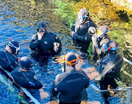
- Arrive 15 minutes early: Check-in, gear fitting, and safety briefings are mandatory.
- Consider transfers: If you’re not comfortable driving to Thingvellir, reserve a Reykjavik pickup option for convenience.
- Choose early or late departures: Morning and late-afternoon tours often feel quieter and offer softer light for underwater photos.
- Remove jewelry beforehand: Dry suits seal tightly at the wrists and neck, and rings or watches won’t fit underneath.
- Bring contact lenses if needed: Regular glasses can’t be worn under the mask.
Frequently asked questions about Silfra Fissure
Silfra is a freshwater rift formed between the North American and Eurasian tectonic plates. It’s famous for its exceptionally clear glacial water and the rare chance to float between two continents.
The water comes from the Langjökull glacier and filters through lava rock for 30–100 years before reaching the fissure, creating visibility that can exceed 100 meters.
Yes. Silfra lies along the Mid-Atlantic Ridge, where the North American and Eurasian plates slowly drift apart by about 2 cm per year.
Depth varies by section. The deepest point, in the “Silfra Cathedral,” reaches around 18–20 meters.
Yes, when visited with a certified guide. All snorkeling and diving tours include safety briefings and specialized dry suits.
Not for snorkeling. However, scuba diving requires an Open Water certification (or equivalent) and proof of dry suit experience.
Yes. Tours operate in all seasons, including winter. Snowy landscapes can make the experience especially striking.
Basic facilities and meeting points are available at the Silfra car park (P5), but amenities are limited compared to city attractions.
Wildlife is limited due to cold temperatures, but you may spot small Arctic char or tiny freshwater invertebrates.